Wondering if a Reno lot can handle the home, ADU, duplex, or mixed-use project you have in mind? That answer usually starts with zoning, and in Reno, zoning can change your options fast. If you are buying land, comparing infill lots, or planning a build, understanding the basic rules can help you avoid costly surprises and focus on parcels that actually fit your goals. Let’s dive in.
Why zoning matters in Reno
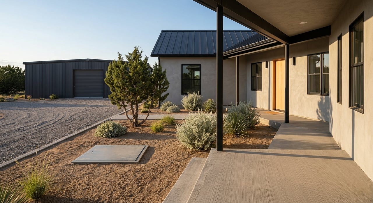
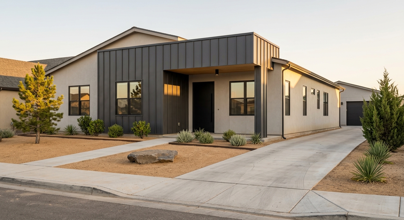
In Reno, a parcel’s zoning helps determine what you can build and how the site can be used. The city’s code and zoning map are the starting point for permitted uses, density, minimum lot size, setbacks, height, and related site standards.
That matters because two lots that look similar on paper may allow very different outcomes. One may work for a detached home and an accessory structure, while another may support a higher-density residential or mixed-use concept.
Start with the correct jurisdiction
Before you study the zoning label, confirm whether the property is actually inside the City of Reno. Some Reno-area parcels are outside city limits and fall under unincorporated Washoe County, which has separate jurisdiction and its own zoning maps and processes.
This is one of the easiest mistakes buyers make when they rely on listing remarks alone. If the parcel is in county jurisdiction, you need to use Washoe County’s quick maps and planning resources instead of Reno’s city standards.
Use Reno’s current zoning tools
Reno’s current Annexation and Land Development Code took effect on January 8, 2025, and has already been amended through January 14, 2026. Because the code has been updated repeatedly, it is smart to use the city’s live zoning page, GIS map, and zoning legend rather than older marketing materials or archived documents.
Reno’s planning guidance directs you to the Community Development Map and the zoning designations layer first. After that, you can review Title 18 for the district standards that apply to the parcel.
Residential zoning families in Reno
Large-lot residential zones
Large-lot residential zoning is where you are most likely to see a more rural development pattern. These districts include LLR-0.5, LLR-1, and LLR-2.5.
LLR-1 is intended for rural single-family and agricultural uses, with large setbacks and a minimum 1-acre lot. LLR-2.5 requires a 2.5-acre minimum lot, which can create even more separation between buildings and limit how many units a site can support.
If you want elbow room, a rural feel, or a lower-density layout, these zones may line up better with your goals. If you want to maximize unit count, these same standards may be too limiting.
Single-family residential zones
Reno’s single-family zones include SF-3, SF-5, SF-6, SF-8, SF-9, and SF-11. The labels reflect density levels ranging from 3 to 11 units per acre.
Minimum lot sizes can vary quite a bit across these districts. City examples show SF-3 at a 15,000-square-foot minimum lot, SF-5 at 9,000 square feet, and SF-8 at 6,000 to 7,000 square feet depending on lot type.
These districts are primarily intended for detached homes. In practice, they often serve as a transition between larger-lot neighborhoods and more intensive residential or mixed-use areas.
Multi-family residential zones
Reno’s multi-family districts include MF-14, MF-21, and MF-30. These zones can open the door to more housing types and higher density than the single-family districts.
MF-14 is intended for duplexes, triplexes, fourplexes, townhomes, and small multi-family buildings. MF-21 expands the mix to include multi-family development with neighborhood-serving limited commercial and retail, while MF-30 is the highest-density residential district shown in the current legend and also allows limited commercial and retail uses.
The base density examples in the current materials are significantly different from one district to the next. They are listed as 1 dwelling unit per 3,000 square feet in MF-14, 1 per 2,000 square feet in MF-21, and 1 per 1,450 square feet in MF-30.
ADUs are now part of the conversation
Accessory dwelling units are now an important part of lot analysis in Reno. City Council adopted an ordinance on October 8, 2025 allowing ADUs in the city, which makes this a key question for buyers looking at residential parcels.
According to the city’s guide, a new ADU must meet a minimum lot size of 5,000 square feet and follow the principal structure setback rules. If an ADU is part of your plan, check that issue early instead of assuming a single-family lot will automatically qualify.
Mixed-use zoning can expand options
Mixed-Use Urban (MU)
Mixed-Use Urban is designed for higher-pedestrian, transit-oriented areas. It supports an integrated mix of higher-density residential, commercial, retail, employment, and service uses.
The district table shows a 30-foot minimum lot width and an 18 dwelling units per acre minimum density on Virginia Street or Fourth Street frontage. The table does not use a simple fixed maximum height, but site plan review is triggered for buildings above 85 feet.
Neighborhood Commercial (NC)
Neighborhood Commercial is a neighborhood-scale mixed-use district. It is intended for pedestrian-oriented commercial, retail, services, and housing options that remain compatible with nearby areas.
Current standards show a 50-foot minimum lot width, a 30 dwelling units per acre maximum density, a 35-foot maximum height, and front setbacks of 10 feet. Side and rear setbacks may be 0 feet or 10 feet in some cases, depending on the specific standards that apply.
Mixed-Use Suburban (MS)
Mixed-Use Suburban offers another flexible option. The current district table shows a 50-foot minimum lot width, while density and height are not simply listed in the table and must be understood through the district rules and related code sections.
That makes MS a good example of why you cannot stop at the district name. You need to read the standards carefully before you estimate what can be built.
Special districts and overlays can change the answer
In Reno, the base zone is only part of the story. The zoning legend also shows overlay layers such as the Gaming Overlay, Historic/Landmark Overlay, Airport Flight Path Overlay, and Airport Noise Exposure Overlay.
These overlays can add rules or constraints beyond the base zoning district. In some locations, parcels may also fall under a planned unit development, a specific plan district, or downtown mixed-use subdistrict guidance.
Reno’s downtown mixed-use subdistricts include MD-ED, MD-ID, MD-NWQ, MD-RD, MD-UD, and MD-PD. The city’s legend also identifies additional districts such as GC, PO, ME, MU-RES, MU-MC, and MA, which is another reminder that the district label alone does not tell the full story.
What to verify before you make an offer
If you are serious about a Reno parcel, build your due diligence around your intended use. Start with the end product you want, then confirm whether the site supports it under the current code.
Here are some practical questions to ask early:
- What is the current zoning?
- Is the parcel inside the City of Reno or unincorporated Washoe County?
- Are there any overlay layers?
- Is the property subject to a PUD or SPD?
- What uses are allowed in that district?
- What are the setback, lot width, lot size, height, and lot coverage rules?
- Can the parcel support an ADU?
- Can you build an accessory structure, place a manufactured home, or subdivide the lot?
Reno’s planning FAQ points users to Title 18 for these answers and notes that the city does not issue zoning verification letters. That means buyers need to do the map-and-code work up front and ask detailed questions before they commit.
When a pre-application meeting helps
Some parcels are straightforward, while others need a deeper review. If the site has an overlay, a downtown subdistrict, unusual access, or a more complex development concept, it can make sense to talk with the city early.
Reno says pre-application meetings are held every Monday with planning, engineering, fire, and building staff. The Planner of the Day can also help with more nuanced zoning questions, which can be useful when you are trying to avoid overestimating what a lot can support.
A practical way to evaluate Reno land
For most buyers, the smartest approach is simple: decide what you want to build first, then eliminate parcels that do not match. That keeps you from falling in love with a lot before you know whether the zoning, setbacks, density, or overlays support your plan.
This matters even more in Reno because code updates have continued through 2026. Using the current city map and code is the safest way to understand your real options today, not what may have applied to the parcel in the past.
If you are comparing Reno land or trying to match a property to a future build, local guidance can save time and help you ask better questions before you spend money on design work. For practical help evaluating lots and land across Northern Nevada, connect with Kimberlie Buffington.
FAQs
What does Reno zoning control for a land buyer?
- Reno zoning helps control permitted uses, density, minimum lot size, setbacks, height, and related site standards for a parcel.
How can you check current zoning for a Reno property?
- Start with Reno’s official zoning page, GIS map, and zoning legend, then review Title 18 for the standards tied to that district.
Why do Reno overlays matter when buying land?
- Overlay layers such as airport, historic, or gaming overlays can add restrictions or requirements beyond the base zoning district.
Can you build an ADU on a Reno residential lot?
- Reno allows ADUs in the city, but a new ADU must meet a minimum lot size of 5,000 square feet and follow principal structure setback rules.
What if the property is near Reno but not in the city?
- If the parcel is in unincorporated Washoe County, you need to use county zoning maps and county planning or building resources instead of Reno city standards.
Should you rely on listing remarks for Reno zoning details?
- No. Reno’s code has been updated through 2026, so the safer approach is to verify the parcel on the current city map and code rather than rely on older listing information.